
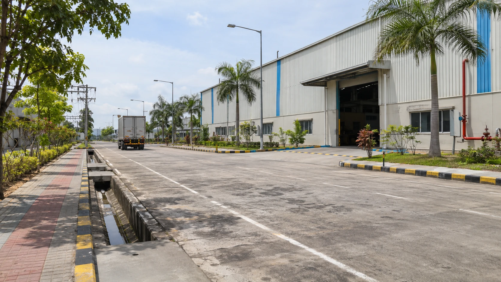
New industrial opportunities
The brochure describes a changing economy creating opportunities for industrial businesses. Evaluate that opportunity against your products, customers, workforce and investment plan.
The brochure positions the Kolkata–Howrah corridor as a strategic destination for manufacturing, warehousing and long-term industrial investment.
The brochure identifies four reasons to consider the region.
The brochure describes a changing economy creating opportunities for industrial businesses. Evaluate that opportunity against your products, customers, workforce and investment plan.
The Kolkata–Howrah corridor is presented as an emerging gateway for Eastern India’s logistics. Consider how a Howrah location fits the movements in your own supply chain.
NH16, port access, rail and freight corridors form part of the location case. Review route distances and actual vehicle access rather than assessing location from a pin alone.
The region is positioned for production, storage and long-term industrial investment. Match those location advantages with the approvals and services your facility needs.
The brochure quotes 4 km to NH16, 11 km to Sankrail Goods Yard, 30 km to Khidirpur Dock and 96 km to Haldia Port. It also identifies passenger transport, healthcare and local services in its connectivity schedule.
Use those figures to prepare a site visit and discuss the needs of your actual vehicles, goods and operating hours. The Location page contains the full brochure schedule and route illustration.
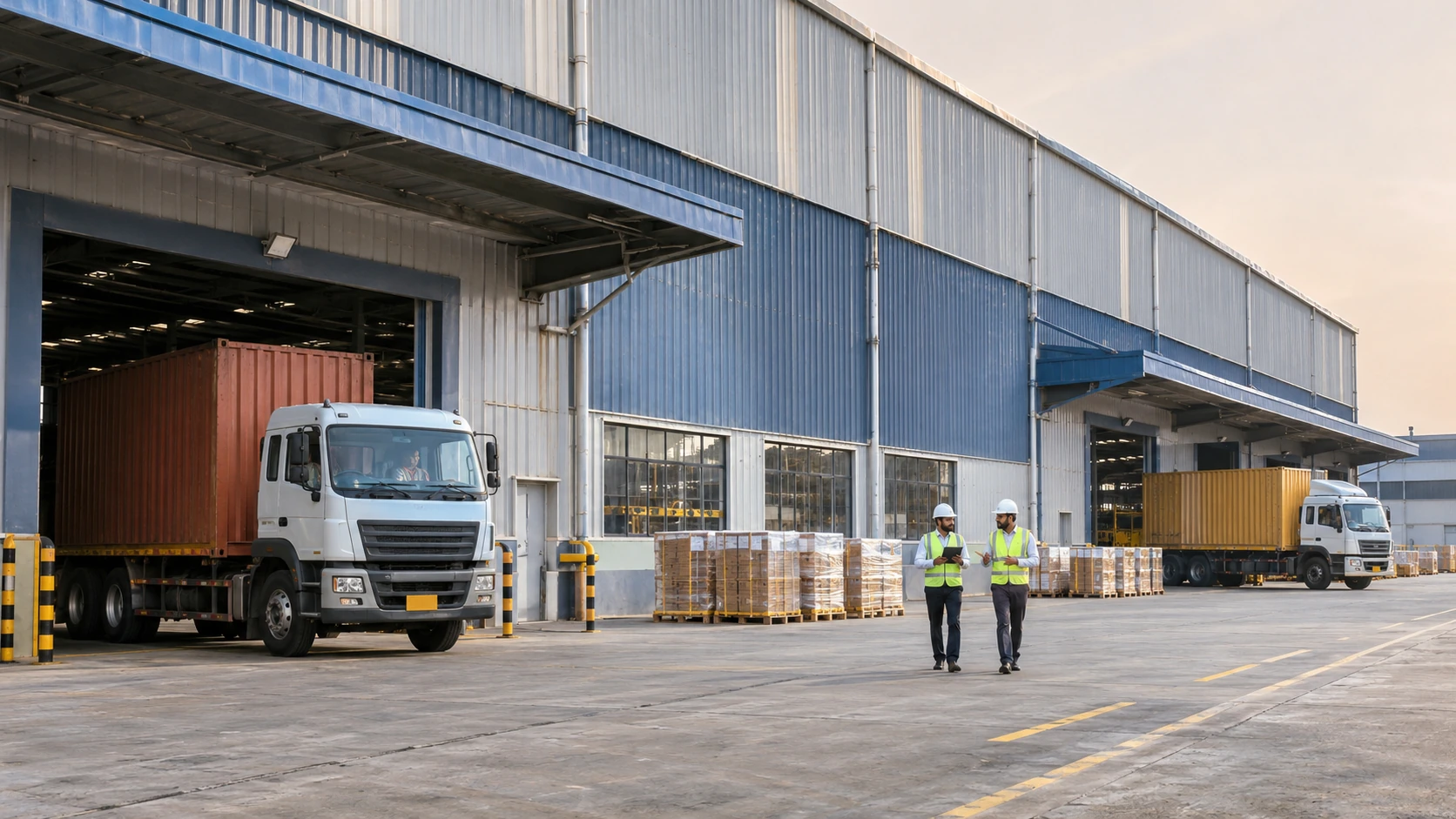
Ranihati–Amta Road provides the local approach. The brochure places NH16 / Mumbai Road approximately 4 km from the complex. Beyond that, regional corridors support route planning across eastern India.
The nearby highway is described as Mumbai Road in the project brochure. West Bengal PWD identifies the NH16 stretch through Dankuni and towards Kharagpur. Review the actual junction, approach width and freight access during a site visit.
The wider Kolkata–Dankuni road network links with NH19, the Delhi–Kolkata corridor. This is a regional road connection; the distance from the complex to a suitable NH19 junction has not been independently measured.
Regional distribution planning can consider the road network through North Bengal and the Siliguri corridor towards Assam and the Northeast. NH12 runs from the Kolkata region towards Dalkhola, with onward northern highway connections. Confirm the route for each destination and vehicle type.
NH16 / Mumbai Road near Howrah and the Delhi–Mumbai Expressway are different roads. Government records place that expressway outside West Bengal. The complex should therefore be evaluated for its nearby NH16 access and wider regional connections, rather than advertised as being beside the Delhi–Mumbai Expressway.
For a factory or distribution centre, compare actual dispatch destinations, tolls, truck restrictions, last-mile access and loading schedules. No transit-time or freight-cost saving is guaranteed.
Explore distances and directionsIndustrial land near Kolkata can be assessed through supplier locations, customer destinations and the need for rail, port or airport access. A manufacturing business and a regional warehouse may place different priorities on the same location.
Use the brochure distances as a first comparison, then validate actual freight routes and site access. Consider peak deliveries, permitted vehicle movements and the time required for each loading cycle.
Development scale, distances and facilities are described in the supplied brochure. Confirm current availability, approvals, completion and service arrangements with the project team. Read the brochure
Review the development scale, layout, operational support facilities, consulting services and connectivity information in one document.
Tell us what you want to build. We’ll help you explore the land options, understand the project and plan a site visit.